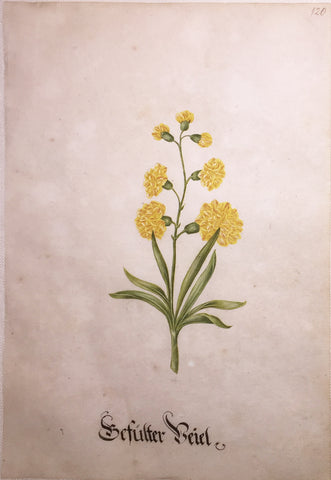
Sebastian Schedel (German, 1570-1628), Sefulfer
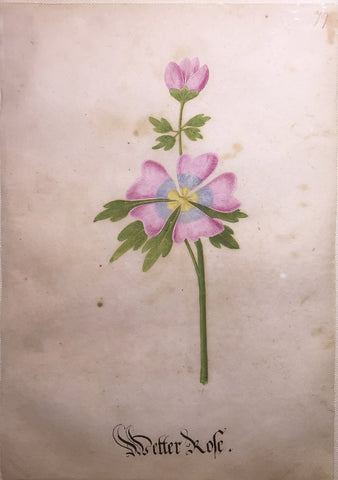
Sebastian Schedel (German, 1570-1628), Wetter Kofe
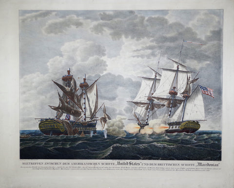
Seetreffen Zwischen Dem ..”United States” und Dem Brittischen Schiffe, “Macedonian”
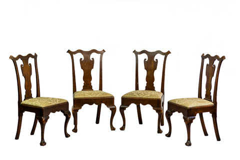
Set of four side chairs (Inv. 0304)
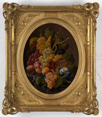
Severin Roesen (circa 1816-1872), Still Life with Fruit
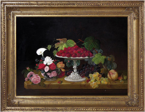
Severin Roesen (circa 1816-1872), Still Life with Strawberries and Flowers
Shimpen Rikha Hyukubei Zui, [Orange and White Flowers]
Shimpen Rikha Hyukubei Zui, [Orange, Yellow, and Red Flowers]
Shimpen Rikha Hyukubei Zui, [Pink and White Flowers]
Shimpen Rikha Hyukubei Zui, [Red and White Flowers]
Shimpen Rikha Hyukubei Zui, [Red and Yellow Flowers]
Shimpen Rikha Hyukubei Zui, [Yellow, Red, and White Flowers]
Sidonie Therese Louise Anna Hurtel d’Arboval, Collection des Geraniers, Cultives par Mlle. Sidonie Hurtel d’Arboval a Montreuil sur mer...
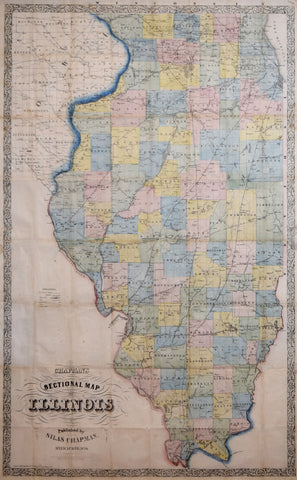
Silas Chapman (1813-1899), Chapman’s Sectional Map of Illinois
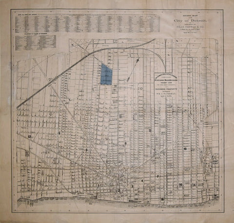
Silas Farmer & Co., Guide Map of the City of Detroit, 1878
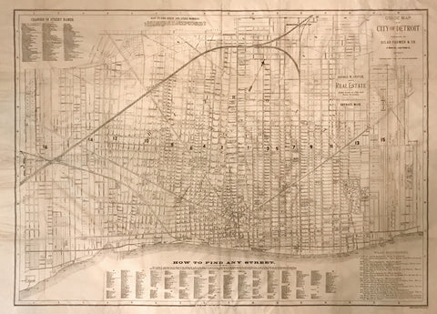
Silas Farmer & Co., Guide map of the City of Detroit, 1886
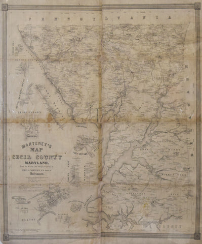
Simon J. Martenet Martenet’s Map of Cecil County Maryland…
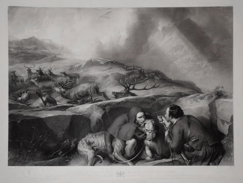
Sir Edwin Henry Landseer (1802-1873) and Thomas Landseer (1795-1880), The Drive: shooting deer on the pass; scene in the Black Mount, Glen-Urchy Forest
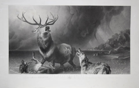
Sir Edwin Henry Landseer (1802-1873) and Thomas Landseer (1795-1880), The Stag at Bay
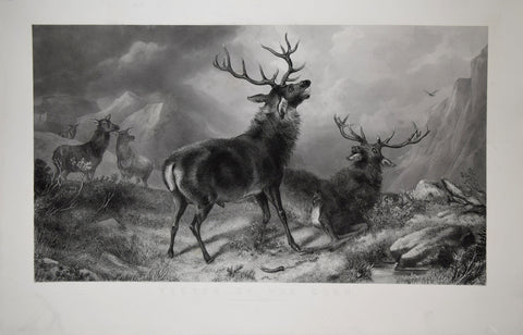
Sir Edwin Henry Landseer (1802-1873) and Thomas Landseer (1795-1880), Victor of the Glen
![Shimpen Rikha Hyukubei Zui, [Orange and White Flowers]](http://aradergalleries.com/cdn/shop/products/flowers_1_large.jpg?v=1497897114)
![Shimpen Rikha Hyukubei Zui, [Orange, Yellow, and Red Flowers]](http://aradergalleries.com/cdn/shop/products/Orange_Yellow_and_Red_Flowers_large.jpg?v=1499099322)
![Shimpen Rikha Hyukubei Zui, [Pink and White Flowers]](http://aradergalleries.com/cdn/shop/products/flowers_4_large.jpg?v=1497897399)
![Shimpen Rikha Hyukubei Zui, [Red and White Flowers]](http://aradergalleries.com/cdn/shop/products/flowers_3_large.jpg?v=1497897320)
![Shimpen Rikha Hyukubei Zui, [Red and Yellow Flowers]](http://aradergalleries.com/cdn/shop/products/flowers_2_large.jpg?v=1497897221)
![Shimpen Rikha Hyukubei Zui, [Yellow, Red, and White Flowers]](http://aradergalleries.com/cdn/shop/products/Yellow_Red_and_White_Flowers_large.jpg?v=1499099387)