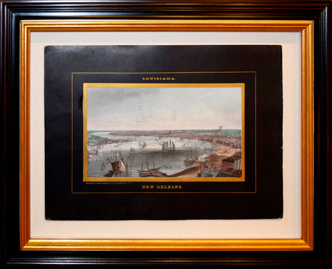
Charles Magnus (1826-1900), New Orleans
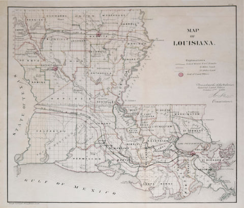
Department of the Interior, General Land Office, Map of Louisiana
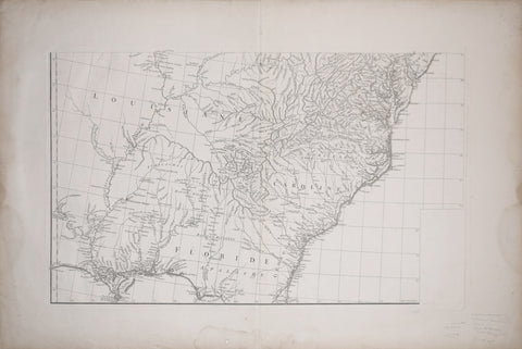
Gilles Robert sieur de Vaugondy (1686-1766), Untitiled Map of the Carolinas and Northern Florida
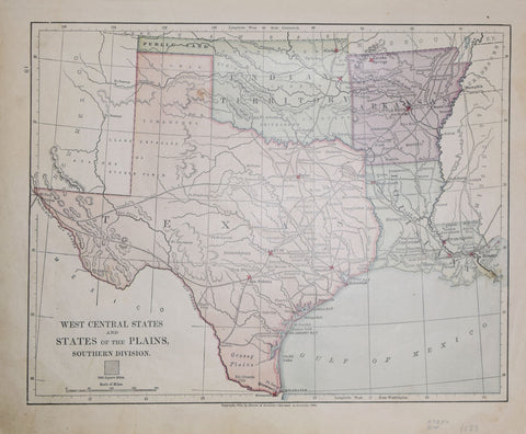
Harper & Brothers (1833–1962), West Central States and States of the Plains, Southern Division
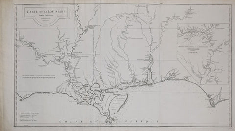
Jean Baptiste Bourguignon d’Anville (1697-1782), Carte de la Louisiane par le Sr. d’Anville Dresse en Mai 1732
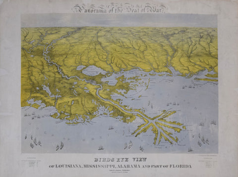
John Bachmann (1814-1896), Panorama of the Seat of War. Birds Eye View of Louisiana, Mississippi, Alabama and Part of Florida
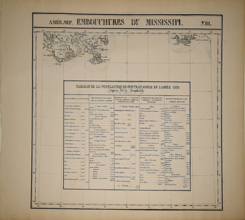
Phillip Marie Guillaume Vandermaelen (1795-1869), Oceanique. Amer. Sep. Embouchures Du Mississipi. No. 61
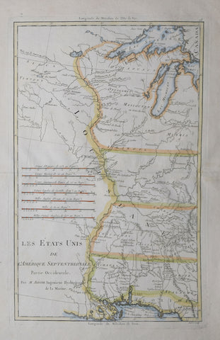
Rigobert Bonne (1727-1795), Les Etats Unis de L’Amerique Septentrionale…
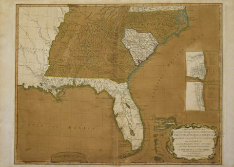
Robert Laurie (C. 1755-1836) & James Whittle (1757-1818) A New and General Map of the Southern Dominion of the United States of America...and the Spanish Possession of Louisiana and Florida.
Rudolf Cronau (1855-1939) Sumpflandschaft in Louisiana. 15, [Swamp Landscape in Louisiana]
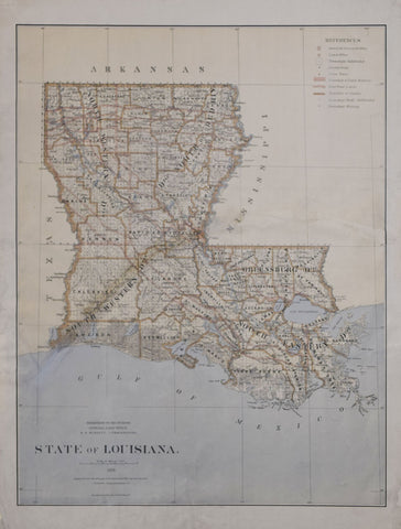
United States General Land Office/Charles Roeser, State of Louisiana, 1876
![Rudolf Cronau (1855-1939) Sumpflandschaft in Louisiana. 15, [Swamp Landscape in Louisiana]](http://aradergalleries.com/cdn/shop/products/cronau_louisiana_large.jpg?v=1617808985)