A.D. Bache (1806-1867), Map of Eastern Virginia compiled from the best authorities and printed at the Coast Survey...
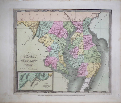
David H. Burr (1802-1875), Delaware and Mary-Land
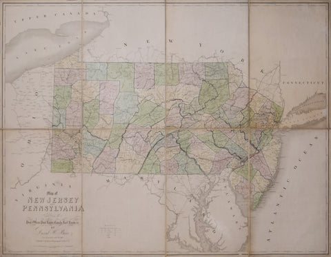
David H. Burr (1803-1875), Map of New Jersey and Pennsylvania exhibiting the past offices, past roads, canals, railroads etc.
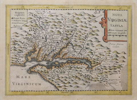
Gerhard Mercator (1512-1594), after, Nova Virginiae Tabula
Government Printing Office & Julius Bien (1826-1909), Pl. C [Central Virginia & Various Battle Sites throughout VA.]
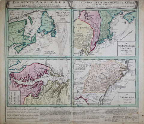
Homann Heirs, Dominia Anglorum in America Septentrionali...
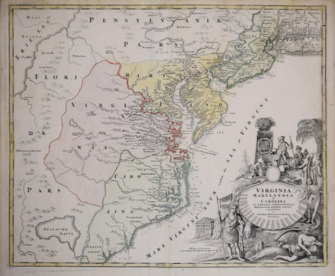
Johann Baptist Homann(1663-1724), Virginia Marylandia et Carolina In America Septentrionali Britannorum industria excultae…
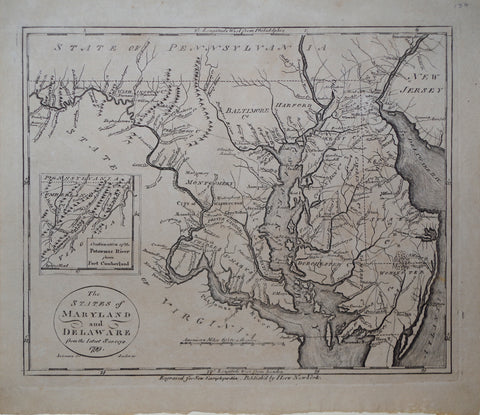
John Payne (1752-1803), The States of Maryland and Delaware, from the Latest Surveys 1799 & inset Map, Continuationof the Potomac River from Fort Cumberland
John White (English, c. 1540-1593) & Theodore De Bry (1528-1589), Americae pars Nunc Virginia...
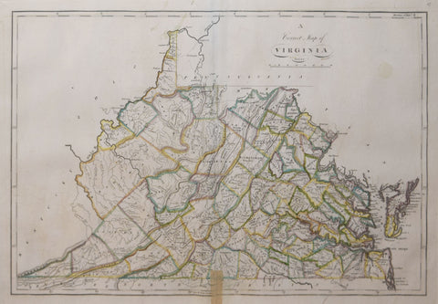
Mathew Carey (1760-1839), A Correct Map of Virginia
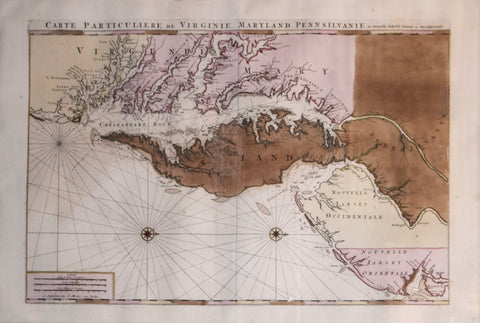
Pierre Mortier (1661-1711), Carte Particuliere de Virginie, Maryland, Pennsilvanie, La Nouvelle larsey. Orient et Occidentale.
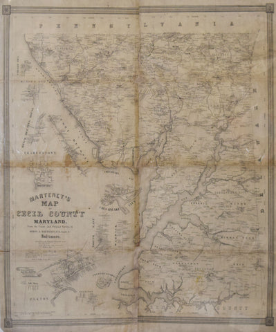
Simon J. Martenet Martenet’s Map of Cecil County Maryland…
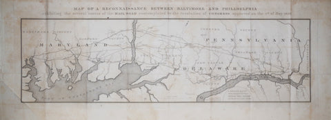
U. S. Government, Map of Reconnaissance Between Baltimore and Philadelphia
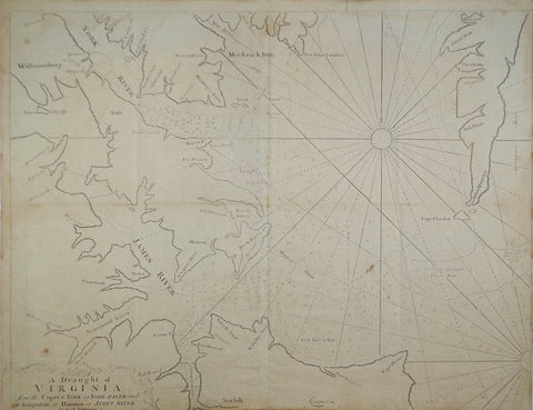
William and John Mount, and John Page, A Draught of Virginia from the Capes to York...
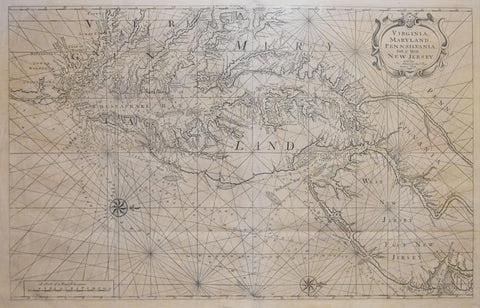
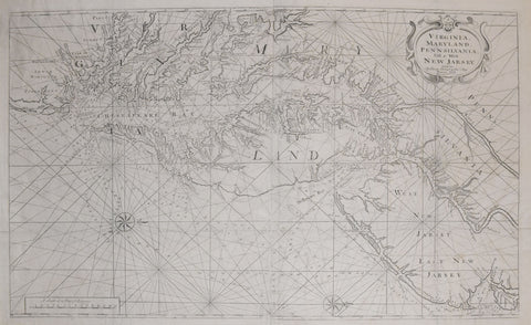
William Mount & Thomas Page, Virginia, Maryland, Pennsilvania, East & West New Jersey

![Government Printing Office & Julius Bien (1826-1909), Pl. C [Central Virginia & Various Battle Sites throughout VA.]](http://aradergalleries.com/cdn/shop/products/Central_Virginia_-_Bien_large.jpg?v=1493664929)