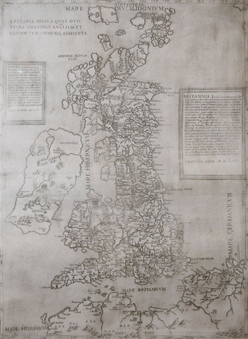
George Lily and Paolo Forlani, Britannia insula quae duo regna continent Angliam et Scotiam cum Hibernia (The British Isles, comprising two kingdoms, England and Scotland, with Ireland
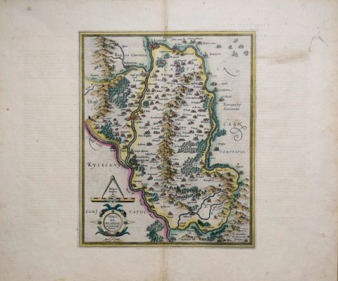
Gerard Mercator (1512-1594), Undrone Irlandiae
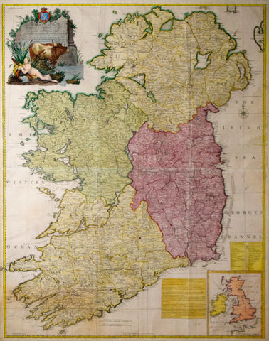
John Rocque (1704?-1762), A Map of the Kingdom of Ireland: divided into Provinces, Counties and Baronies...
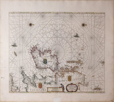
Pieter Goos (ca. 1616-1675), Paskaarte om Achter Yrlandt…
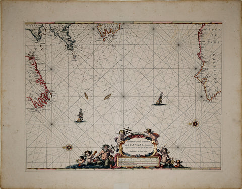
Pieter Goos (Dutch, 1616-1675), Paskaerte van’t in comen Van’t Canaal, hoemen…
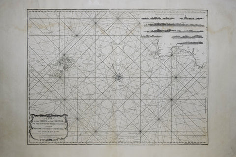
Robert Laurie (1755-1836) & James Whittle (c.1757-1818), A Chart of the Chops of the Channel, to the South of Scilly Islands
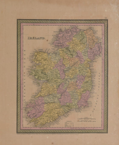
Samuel Augustus Mitchell (1792-1868) & Thomas Cowperthwait Ireland, Pl. 48
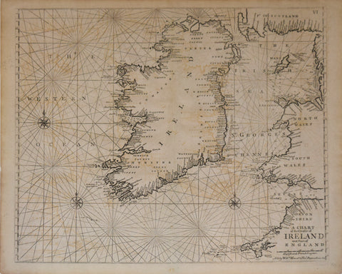
William Mount and Thomas Page, A Chart of Ireland and England