"Plan of Atlantic City. Map of Absecon Beach bounding on the Atlantic Ocean surveyed November 1852 and drafted on a scale of eight chains or 528 feet to the inch by J.L. Rowand, surveyor. Dec. 25, 1852."
A. Finley, Drawn by D.H. Vance, Map of the State of Missouri and Territory of Arkansas compiled from the Latest Authorities
A. N. Houghton, printer, Eldridge's Map of Martha's Vineyard
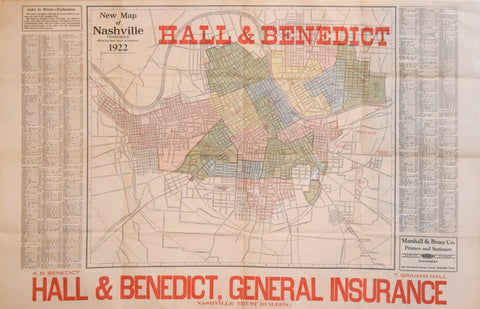
A.B. Benedict & T. Graham Hall, New Map of Nashville Tennessee..1922
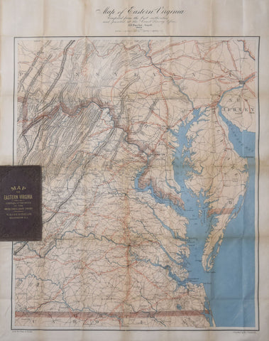
A.D. Bache (1806-1867), Map of Eastern Virginia compiled from the best authorities and printed at the Coast Survey...