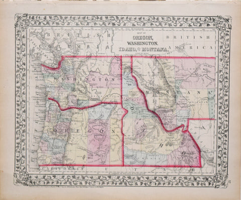
Samuel Augustus Mitchell (1790-1868), Map of Oregon, Washington, Idaho, and part of Montana
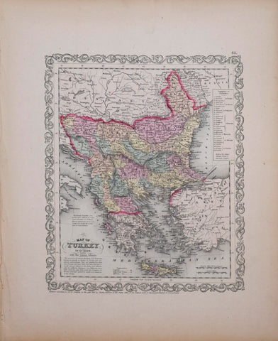
Samuel Augustus Mitchell (1790-1868), Map of Turkey in Europe with the Ionian Islands
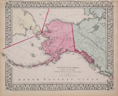
Samuel Augustus Mitchell (1790-1868), North Western America showing the territory ceded by Russia to the United States. (Alaska)
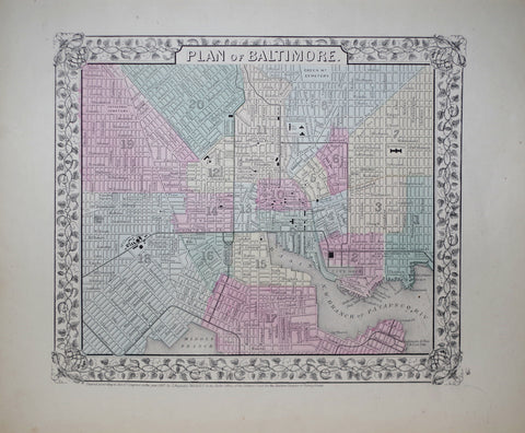
Samuel Augustus Mitchell (1790-1868), Plan of Baltimore
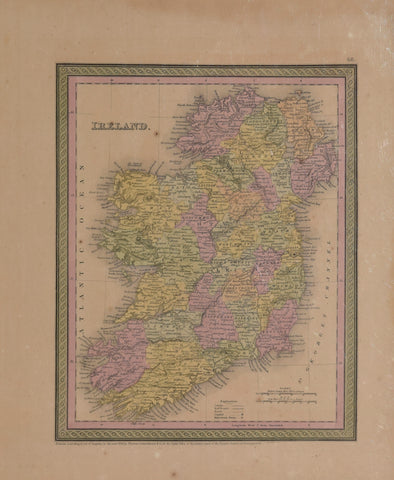
Samuel Augustus Mitchell (1792-1868) & Thomas Cowperthwait Ireland, Pl. 48
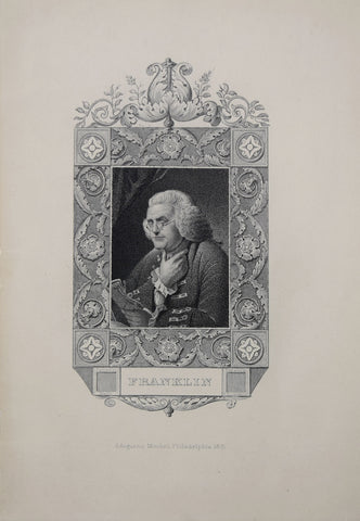
Samuel Augustus Mitchell (1792-1868), Franklin
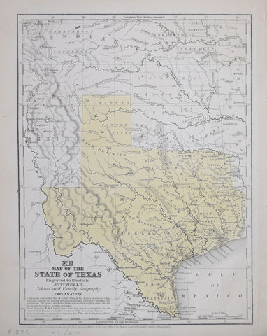
Samuel Augustus Mitchell (1792-1868), No. 13 Map of the State of Texas Engraved to Illustrate Mitchell's School and Family of Geography
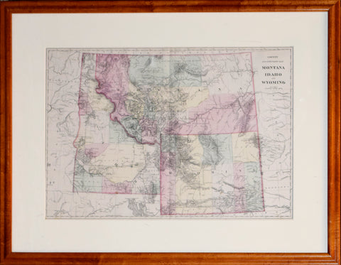
Samuel Augustus Mitchell Jr, County and Township Map Montana, Idaho, and Wyoming
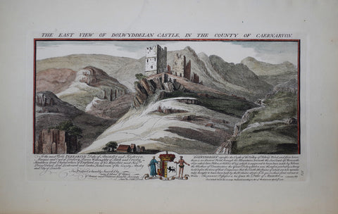
Samuel Buck (1696-1779) and Nathaniel Buck (fl. 1724-1759), The East View of Dolwyddelan Castle
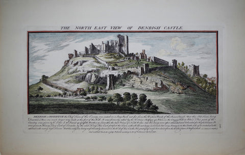
Samuel Buck (1696-1779) and Nathaniel Buck (fl. 1724-1759), The North East View of Denbigh Castle
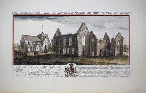
Samuel Buck (1696-1779) and Nathaniel Buck (fl. 1724-1759), The North-West View of Boxgrove-priory
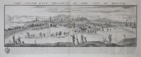
Samuel Buck (1696-1779) and Nathaniel Buck (fl. 1724-1759), The South East Prospect of the City of Bristol
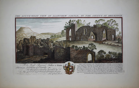
Samuel Buck (1696-1779) and Nathaniel Buck (fl. 1724-1759), The South West View of Llanthew Castle
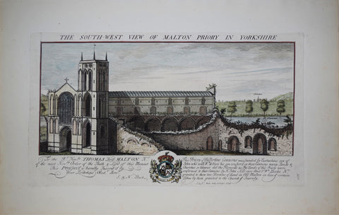
Samuel Buck (1696-1779) and Nathaniel Buck (fl. 1724-1759), The South West View of Malton Priory in Yorkshire
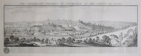
Samuel Buck (1696-1779) and Nathaniel Buck (fl. 1724-1759), The South-East Prospect of Colchester, in the County of Essex
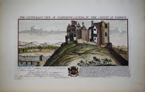
Samuel Buck (1696-1779) and Nathaniel Buck (fl. 1724-1759), The South-East view of Tamworth-Castle
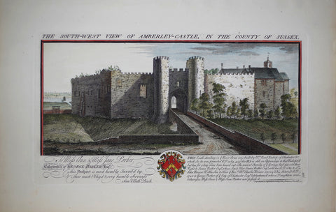
Samuel Buck (1696-1779) and Nathaniel Buck (fl. 1724-1759), The South-West View of Amberley-Castle
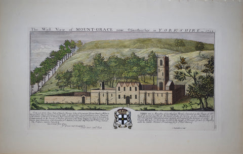
Samuel Buck (1696-1779) and Nathaniel Buck (fl. 1724-1759), The West View of Mount-Grace
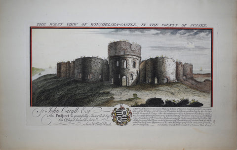
Samuel Buck (1696-1779) and Nathaniel Buck (fl. 1724-1759), The West View of Winchelsea-Castle
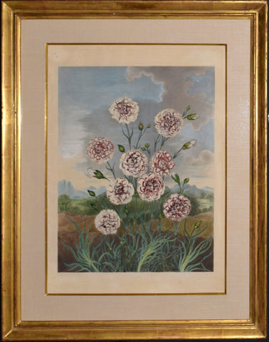
Samuel Curtis (1779-1860) Carnations