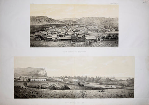
Mariano Felipe Paz Soldan, (1821-1886) and A. Simeon, Vista General de Moquegua & Vista General de Africa
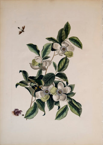
Mark Catesby (1683-1749), T 13, Silky Camellia and Ruby-crowned Kinglet
Mark Catesby (1683-1749), The Pied-billed Dopchick, 91
Mark Catesby (1683-1749), The Whip-poor will, no. 16
Mark Catesby (1683-1749), Bahaman Orchid, P88
Mark Catesby (1683-1749), Balsalm Tree, P99
Mark Catesby (1683-1749), Buffalo, no. 20
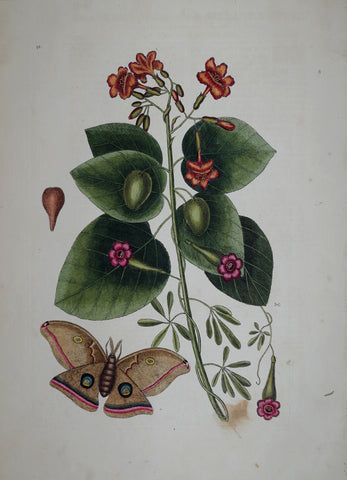
Mark Catesby (1683-1749), Cat's Claw, P97
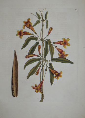
Mark Catesby (1683-1749), Cross-Vine P82
Mark Catesby (1683-1749), Cucumber Tree, no. 15
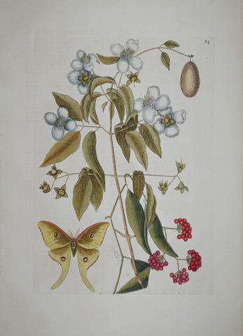
Mark Catesby (1683-1749), Custard Apple P86
Mark Catesby (1683-1749), Geiger Tree P91
Mark Catesby (1683-1749), Geiger Tree, P91
Mark Catesby (1683-1749), Great Laurel, no. 17
Mark Catesby (1683-1749), Ichneumon Fly, no. 4
Mark Catesby (1683-1749), Larger Red Crested Woodpecker, P17
Mark Catesby (1683-1749), Largest White Billed Woodpecker, P 16
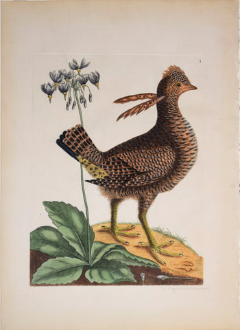
Mark Catesby (1683-1749), Le Coq du Bois d'Amerique (Partridge), T1
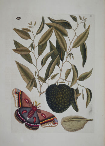
Mark Catesby (1683-1749), Mock Orange P84
Mark Catesby (1683-1749), Mock Orange, P84