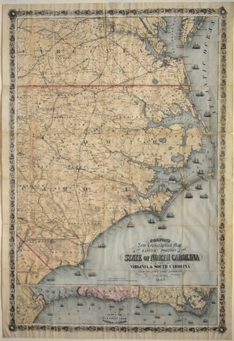
Joseph Hutchins Colton (1800-1893) - Colton's New Topographical Map of the Eastern Portion of the State of North Carolina...
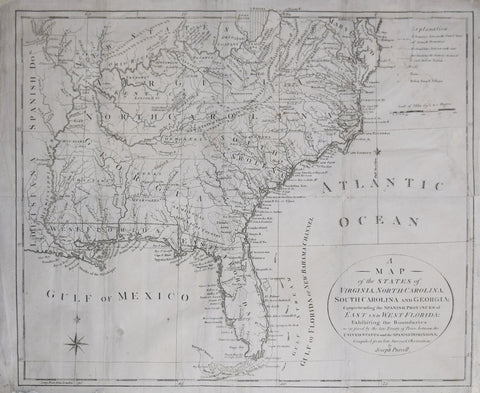
Joseph Purcell, A Map of the States of Virginia, North Carolina, South Carolina and Georgia comprehending the Spanish Dominions...
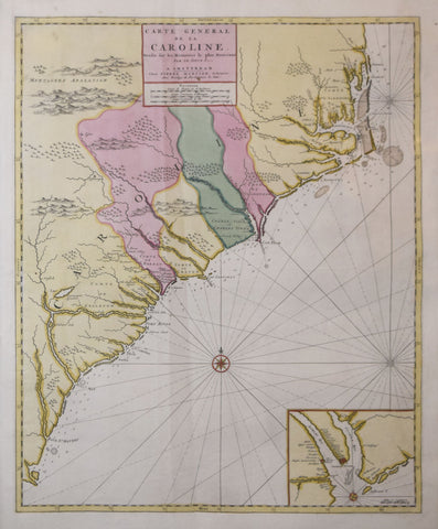
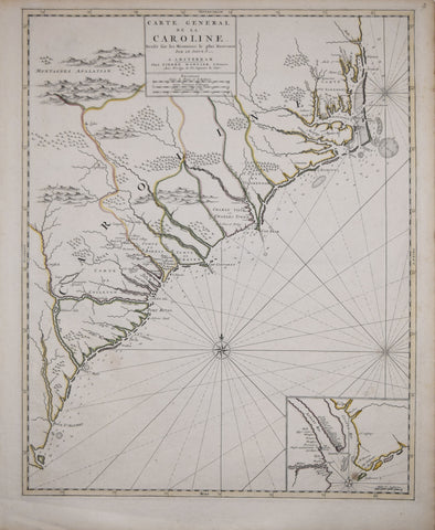
Nicholas Sanson (1600-1667), Carte Generale de la Caroline...
Pierre Mortier (1661-1711), Carolina
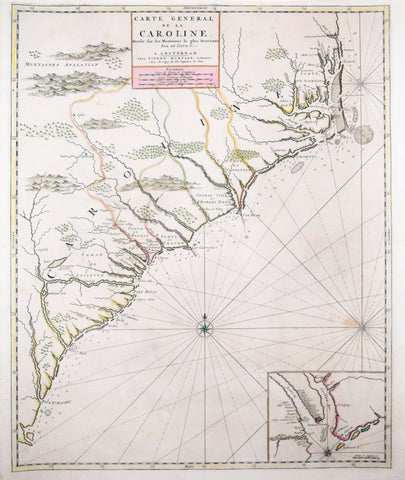
Pierre Mortier (1661-1711), Carte Generale de la Caroline...
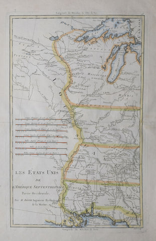
Rigobert Bonne (1727-1795), Les Etats Unis de L’Amerique Septentrionale…
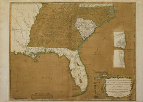
Robert Laurie (C. 1755-1836) & James Whittle (1757-1818) A New and General Map of the Southern Dominion of the United States of America...and the Spanish Possession of Louisiana and Florida.
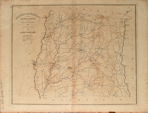
Robert Mills (1781-1855), Abbeville District, South Carolina
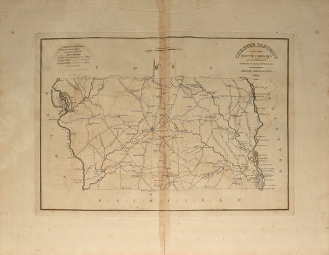
Robert Mills (1781-1855), Chester District, South Carolina
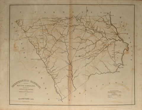
Robert Mills (1781-1855), Chesterfield District, South Carolina
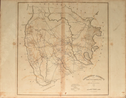
Robert Mills (1781-1855), Darlington District, South Carolina
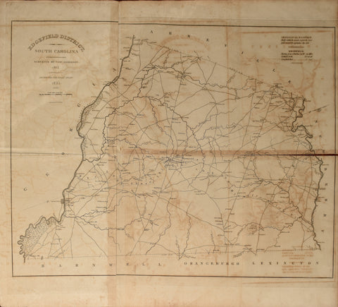
Robert Mills (1781-1855), Edgefield District, South Carolina
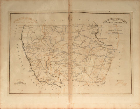
Robert Mills (1781-1855), Fairfield District, South Carolina
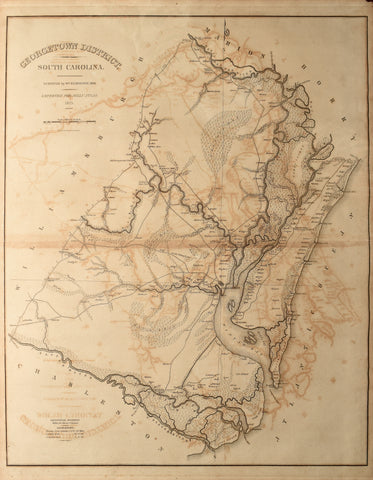
Robert Mills (1781-1855), Georgetown District, South Carolina
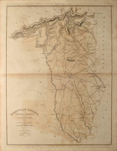
Robert Mills (1781-1855), Greenville District, South Carolina
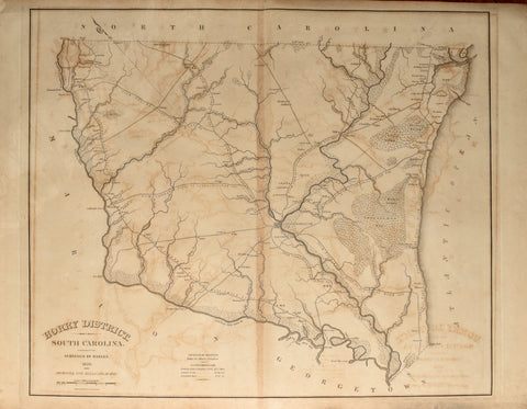
Robert Mills (1781-1855), Horry District, South Carolina
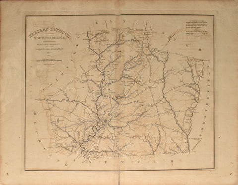
Robert Mills (1781-1855), Kershaw District, South Carolina
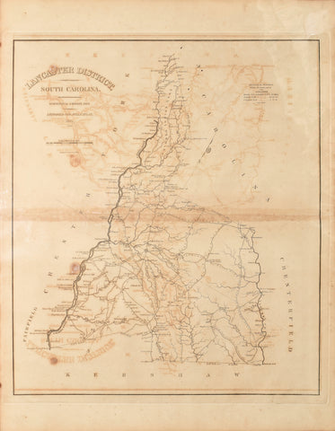
Robert Mills (1781-1855), Lancaster District, South Carolina
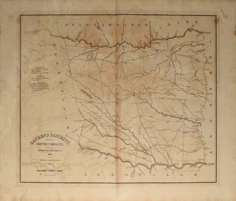
Robert Mills (1781-1855), Laurens District, South Carolina
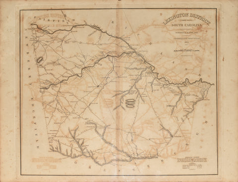
Robert Mills (1781-1855), Lexington District, South Carolina