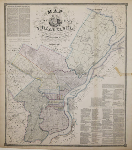
Samuel Smedley, Map of the City of Philadelphia...Photographically reduced from Large Drawings…
Samuel Smedley
Map of the City of Philadelphia...Photographically reduced from Large Drawings…
From: Smedley’s Atlas of the City of Philadelphia. Joseph Bonsall & Samuel Smedley, civil engineers & surveyors
Published, J.B. Lippincott, Philadelphia c. 1862
Lithograph with color printed outline coloring
Image size 32 x 27 ⅛”
We Also Recommend


