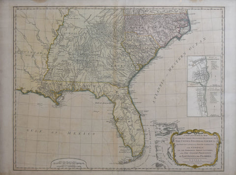
Robert Laurie (C. 1755-1836) & James Whittle (1757-1818), A New and General Map of the Southern Dominion of the United States of America...and the Spanish Possession of Louisiana and Florida
Robert Laurie (C. 1755-1836) & James Whittle (1757-1818)
A New and General Map of the Southern Dominion of the United States of America...and the Spanish Possession of Louisiana and Florida. [with inset Plans of Charleston & St. Augustine]
From: Thomas Kitchen's A New Universal Atlas
Published: Laurie and Whittle, London, 1794
Engraving with original hand coloring
Image size: 19 1/2" x 25 1/8"
Framed size: modern; 25" x 32 1/2"
We Also Recommend


