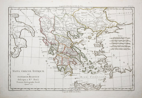
Rigobert Bonne (French, 1727-1795), Mappa Greciae Antiquae et vicinarum regionum
Rigobert Bonne (French, 1727-1795)
Mappa Greciae Antiquae et vicinarum regionum descripta a Rto. Bona, Primario Hydrographo Navali (Showing Greece, Island of Crete and Part of Italy)
from Atlas portatif a l'usage des colleges, pour servir a l'intelligence des auteurs classiques
Published: 1779, Venice, by Abbe Grenet and Rigobert Bonne
Engraving with outline coloring
Sheet size: 10 3/4 x 15 1/2"
We Also Recommend


