![Rand McNally & Co., [Africa, with inset map of: Suez Canal]](http://aradergalleries.com/cdn/shop/products/Africa_146_147-_Rand_McNally_large.jpg?v=1500574536)
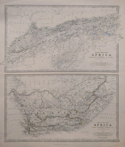
Rand McNally & Co., [Africa, with inset map of: Suez Canal]
Rand McNally & Co.
[Africa, with inset map of: Suez Canal]
from: Rand McNally & Co.’s Imperial Atlas
Published, Rand McNally & co., Chicago & New York, 1900
Chromolithograph
Paper size 22 ½ x 14 ⅛”
Image size 20 ⅛ x 12 ½”
We Also Recommend

