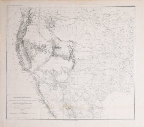
Lieut. William H. Emory (1811-1887), Map of the United States and their Territories between the Mississippi and the Pacific Ocean and Part of Mexico
Lieut. William H. Emory (1811-1887)
Map of the United States and their Territories between the Mississippi and the Pacific Ocean and Part of Mexico
Surveys by W.H. Emory, Major 1st Cavalry and U.S. Commossioner
Drawn under supervision, H.N. Michler, engraver, by Thomas Jekyll, C.E., 1857-58
Lettering by F. Courtenay
Engraved and Printed Selman Siebert’s Printing Establishment, Washington, D.C., ca. 1858
Lithograph
Paper size 22 ¾ x 25 ¾”
Image size 20 ⅝ x 22 ¾”
We Also Recommend


