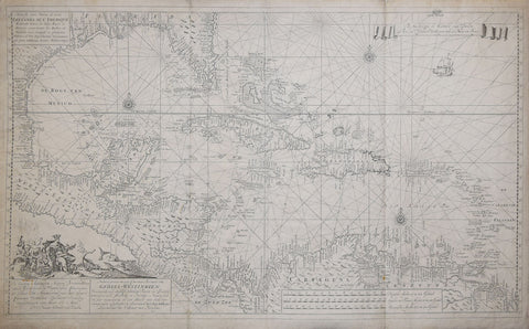
Herman Moll (1654 - 1732), A Map of the West Indies or Islands of America in the North Sea…
Herman Moll (1654 - 1732)
A Map of the West Indies or Islands of America in the North Sea…
[Includes insets of: Mexico City, Cartagena, Porta Bella, Havana & St. Augustin]
Printed for Thomas & John Bowles, London, ca. 1715
Engraving with original outline coloring
p.m. 32 ½ x 40 ¼”
Paper size 24 ⅞ x 42”We Also Recommend
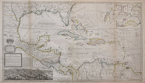
![Amedee Francois Frezier (1682-1773), Isle de S. Domingue... [Haiti and Dominican Republic]](http://aradergalleries.com/cdn/shop/products/Frezier_Isle_de_S_Domingue_SMALL_large.jpg?v=1510938625)