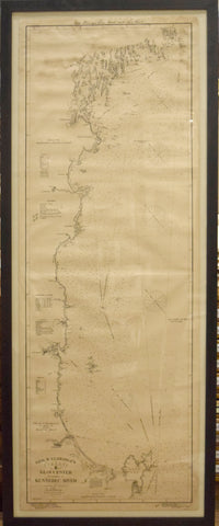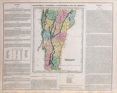
Henry Charles Carey (1793-1879) & Isaac Lea (1792-1886), Geographical, Statistical and Historical Map of Vermont
Henry Charles Carey (1793-1879) & Isaac Lea (1792-1886)
Geographical, Statistical and Historical Map of Vermont
From: A Complete Historical American Atlas
Published, Carey & Lea, Philadelphia, 1822
Engraving and letterpress with original hand-coloring
Paper size 17 ⅝ x 22 ¼”
Image size 16 ½ x 20 ⅝”
Geographical, Statistical and Historical Map of Vermont
From: A Complete Historical American Atlas
Published, Carey & Lea, Philadelphia, 1822
Engraving and letterpress with original hand-coloring
Paper size 17 ⅝ x 22 ¼”
Image size 16 ½ x 20 ⅝”
We Also Recommend