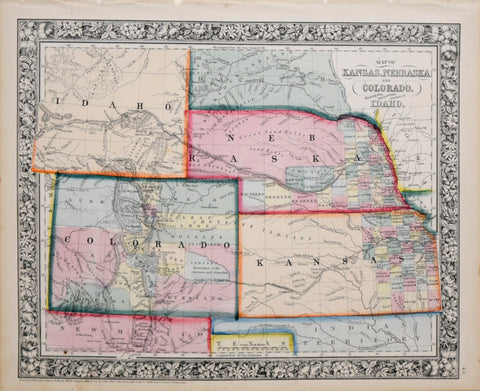
Samuel Augustus Mitchell (1790-1868), Map of Kansas, Nebraska and Colorado
Samuel Augustus Mitchell (1790-1868)
Map of Kansas, Nebraska and Colorado. Showing also the Eastern Portion of Idaho
from Mitchell's New General Atlas
Published: 1861, Philadelphia, by Samuel Augustus Mitchell Jr.
Steel engraving with hand coloring
Sheet size: 12 1/2 x 15 1/4"
We Also Recommend