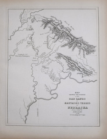
John Evans (1814-1897), Map Showing the Position of the Bad Lands of Mauvaises Terres of Nebraska
John Evans (1814-1897)
Map Showing the Position of the Bad Lands of Mauvaises Terres of Nebraska
From David Dale Owen's Illustrations to the Geological Report of Wisconsin, Iowa, and Minnesota
Published: Lippincott, Grambo & Co., Philadelphia c. 1852
Engraving
Paper size: 11 3/4" x 8 3/4"
Framed size: 21 1/8" x 18 1/8"
Map Showing the Position of the Bad Lands of Mauvaises Terres of Nebraska
From David Dale Owen's Illustrations to the Geological Report of Wisconsin, Iowa, and Minnesota
Published: Lippincott, Grambo & Co., Philadelphia c. 1852
Engraving
Paper size: 11 3/4" x 8 3/4"
Framed size: 21 1/8" x 18 1/8"
We Also Recommend