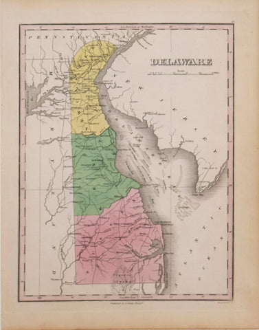
After Joshua Fry (1700-1754) & Peter Jefferson (1708-1757), Georges Louis Le Rouge (1712-1790), Virginie, Maryland en 2 feuilles par Fry et Jefferson…
After Joshua Fry (1700-1754) & Peter Jefferson (1708-1757), Georges Louis Le Rouge (1712-1790)
Virginie, Maryland en 2 feuilles par Fry et
Jefferson Traduit, Corrige, augmente …1777
Paris, 1777
Engraving
Paper size: 27 1/8 x 39 1/2 in.
Frame size: 33 1/4 x 45 1/4 in.
Rare Revolutionary War period map of Virginia & Maryland, published by Le Rouge.
Le Rouge’s 2 sheet edition is based upon the Fry Jefferson map, but covers only Virginia, Maryland & Delaware, plus the southern portions of New Jersey and Pennsylvania. It omits most of the portions of North Carolina shown in the English edition.
The Le Rouge edition is a faithful reproduction of Fry Jefferson’s map, with only minor cartographic and nomenclature differences. Joshua Fry and Peter Jefferson (father of the Thomas Jefferson) first issued the English edition in 1754 (known in 2 copies). The map was subsequently issued over the next 30 years in a number of editions, including those bound into Jefferys American Atlas and a single sheet edition issued by De Vaugondy. The map is considered a cartographic landmark and one of the most important maps of the region ever issued.
We Also Recommend


![American School, [Manuscript Map of Pennsylvania]](http://aradergalleries.com/cdn/shop/products/Manuscript_Map_of_Pennsylvania_large.jpg?v=1470162735)