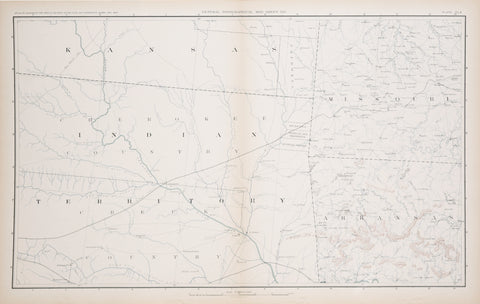
Julius Bien and Company, Plate CLX, General Topographical Map Sheet XXV
Julius Bien and Company
Plate CLX, General Topographical Map Sheet XXV (Showing Indian Territory: Oklahoma. Kansas, Missouri and Arkansas)
from Atlas to Accompany the Official Records of the Union and Confederate Armies...
Complied by George B. Davis, Leslie J. Perry, Joseph W, Kirkley and Calvin D. Cowles
Published: 1895, Washington, by U.S. Government Printing Office
Printed by Julius Bien and Comapny Litho, New York
Lithograph
Sheet size: 18 1/2 x 29 1/2"
We Also Recommend


