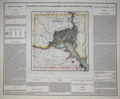
Henry Charles Carey (1793-1879) & Isaac Lea (1792-1886), Geographical, Statistrical and Historical Map of The District of Columbia
Henry Charles Carey (1793-1879) & Isaac Lea (1792-1886)
Geographical, Statistrical and Historical Map of The District of Columbia
From: American Atlas
Published, Philadelphia, Carey & Lea, ca. 1822-27
Engraving and letter press with original hand-coloring
Paper size 17 7/8 x 21 3/4”, Image size 16 3/8 x 20 3/8
We Also Recommend


