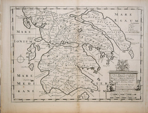
Edward Wells (English, 1667 - 1727), A New Map of the So. and Mid. Parts of Ancient Greece viz. Epirus, Hellas, or Graecia Propria, and Peloponnesus, together with the Adjoyning Islands.
Edward Wells (English, 1667 - 1727)
A New Map of the So. and Mid. Parts of Ancient Greece viz. Epirus, Hellas, or Graecia Propria, and Peloponnesus, together with the Adjoyning Islands.
Published, Oxford, ca. 1700
Paper size 17 ⅜ x 21 ¼”
p.m. 14 ⅝ x 19 ¼”
We Also Recommend


