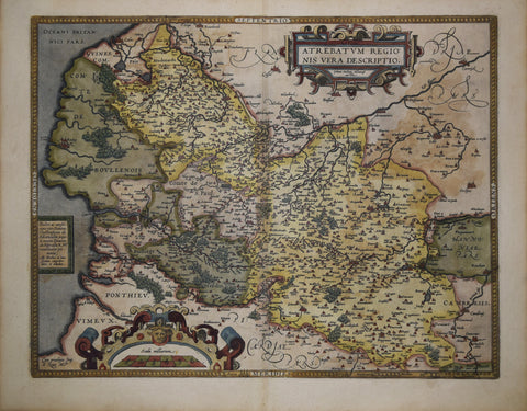
John Rocque (1704?-1762), A Map of the Kingdom of Ireland: divided into Provinces, Counties and Baronies...
John Rocque (1704?-1762)
A Map of the Kingdom of Ireland: divided into Provinces, Counties and Baronies...
Includes: two inset tables and an inset map titled: The Sea Coasts of Great Britain and Ireland
Printed for Robert Sayer, London, ca. 1762-1773
Engraving with original hand-coloring
Frame size 53 1/2 x 43 1/2 in.
Paper size 49 1/4 x 38 3/4 in.
Ref: Worms, L. and A. Baynton-Williams, British Map Engravers, p.561
We Also Recommend
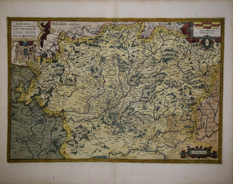
![Abraham Ortelius (1527-1598), Basiliensis Territorii Descriptio Nova [with] Circulus Sive Liga Suevia Vulgo Schwabische Kraiss (Germany & Switzerland)](http://aradergalleries.com/cdn/shop/products/Circulus_siue_liga_sueuiae-_Ortelius_7341f4c5-15d4-48ff-a60f-d65075362832_large.jpg?v=1477507810)
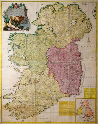
![Abraham Ortelius (1527-1598), a) Patavini Territo RII Corographia… b) Tarvisini Agri Typus Auctore Io Pinadello Phil. et I.C. Tarvisino [Venice Region]](http://aradergalleries.com/cdn/shop/products/Ortelius_Patavini_Territo_RII_Corographia_large.jpg?v=1548534316)