Mark Catesby (1683-1749), The Little Brown Bead Snake, P49
Mark Catesby (1683-1749), The Little Brown Duck, P98
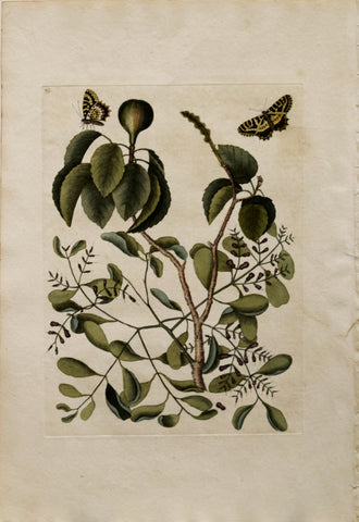
Mark Catesby (1683-1749), The Little Brown Flycatcher, The Red Eyed Flycatcher, P54
Mark Catesby (1683-1749), The Little Hawk, P5
Mark Catesby (1683-1749), The Little Owl, P7
Mark Catesby (1683-1749), The Little Sparrow, P35
Mark Catesby (1683-1749), The Little Thrush, The Dahoon Holly, P31
Mark Catesby (1683-1749), The Little White Heron, P77
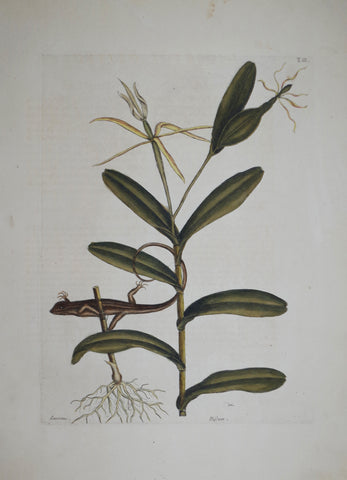
Mark Catesby (1683-1749), The Lyon Lizard P68
Mark Catesby (1683-1749), The Lyon Lizard, P68
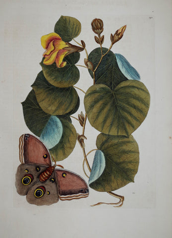
Mark Catesby (1683-1749), The Maho Tree P90
Mark Catesby (1683-1749), The Maho Tree, P90
Mark Catesby (1683-1749), The Mahogany Tree P81
Mark Catesby (1683-1749), The Mahogany Tree, P81
Mark Catesby (1683-1749), The Mancaneel Tree, Misleto, butterfly, T95
Mark Catesby (1683-1749), The Manchineel Tree, P95
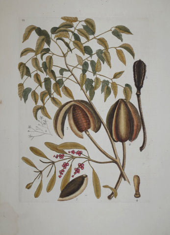
Mark Catesby (1683-1749), The Mangrove Grape Tree, P96
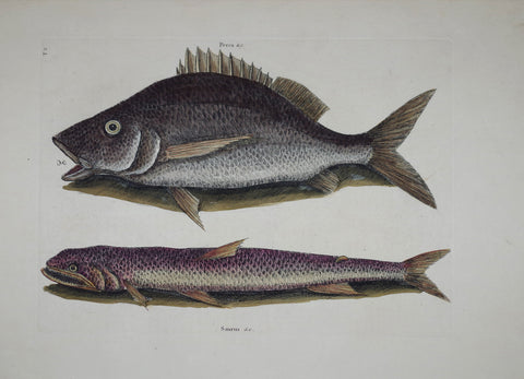
Mark Catesby (1683-1749), The Mangrove Snapper T9
Mark Catesby (1683-1749), The Mangrove Snapper, P9
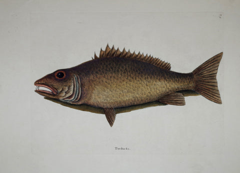
Mark Catesby (1683-1749), The Margate Fish P2