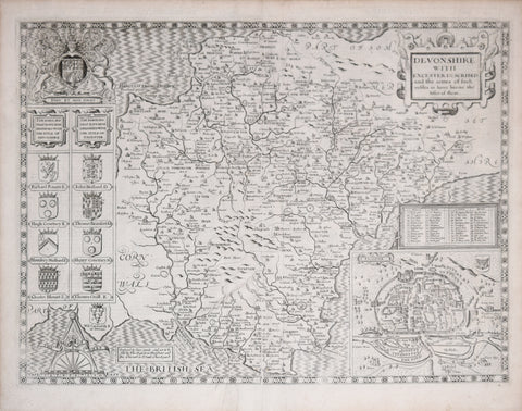
John Speed (1552-1629), Devonshire with Excester Described…
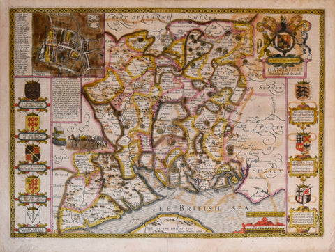
John Speed (1552-1629), Hantshire described and divided (Hampshire)
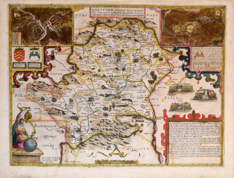
John Speed (1552-1629), Hartfordshire described The Situations of Hartford and the most Ancient Towne S. Albans...
John Speed (1552-1629), Leicester both Countye and Citie…
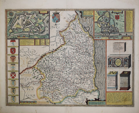
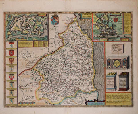
John Speed (1552-1629), Northumberland
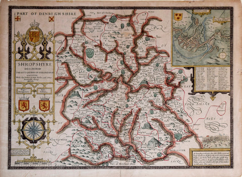
John Speed (1552-1629), Part of Denbighshire
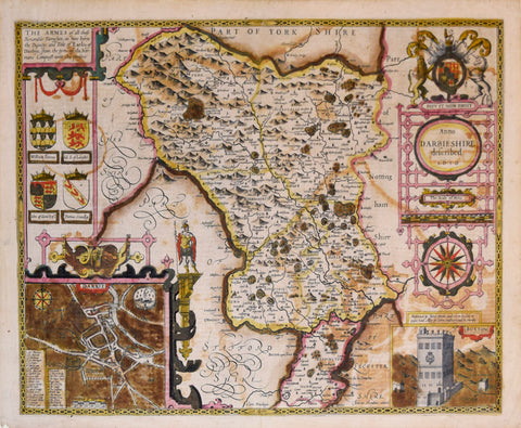
John Speed (1552-1629), Part of York Shire
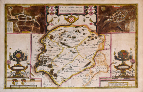
John Speed (1552-1629), Rutlandshire with Durham and Stanford...
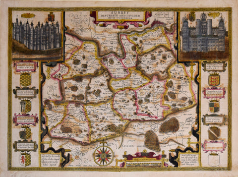
John Speed (1552-1629), Surrey Described and Divided into Hundreds
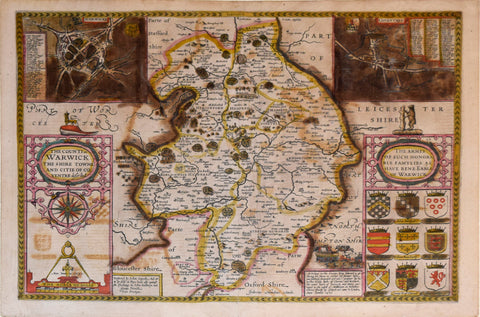
John Speed (1552-1629), The Counti of Warwick from Shire Towne and Citie of Coventre described
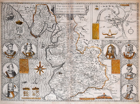
John Speed (1552-1629), The Countie Palatine of Lancaster described and divided into Hundreds
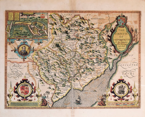
John Speed (1552-1629), The Countye of Monmouth with the Situation of the Shiretowne described Ann. 1610
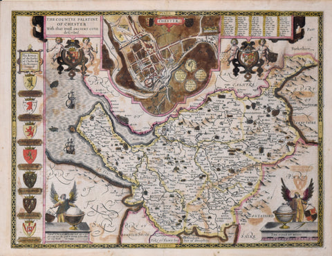
John Speed (1552-1629), The Countye Palatine of Chester…
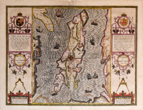
John Speed (1552-1629), The Isle of Man...
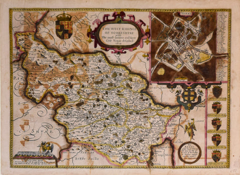
John Speed (1552-1629), The West Ridinge of Yorkshyre with the Most Famous and Fayre Citie Yorke described 1610
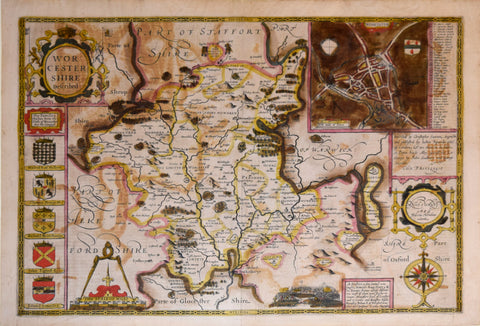
John Speed (1552-1629), Worcestershire described
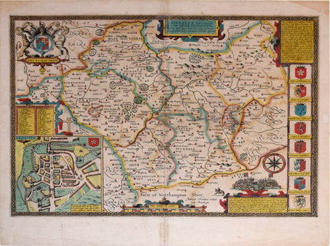
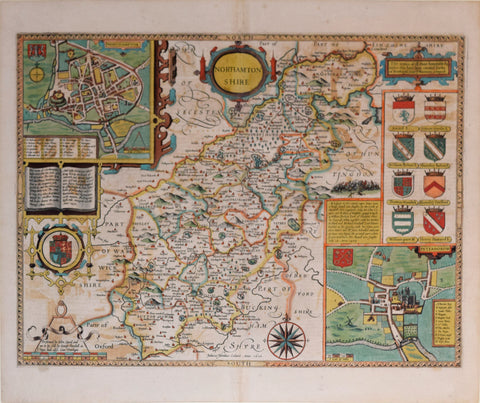
John Speed (1552-1629, Northamptonshire
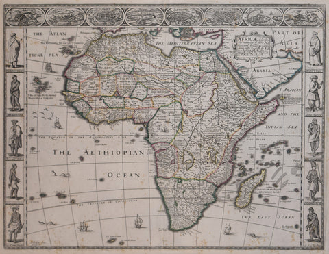
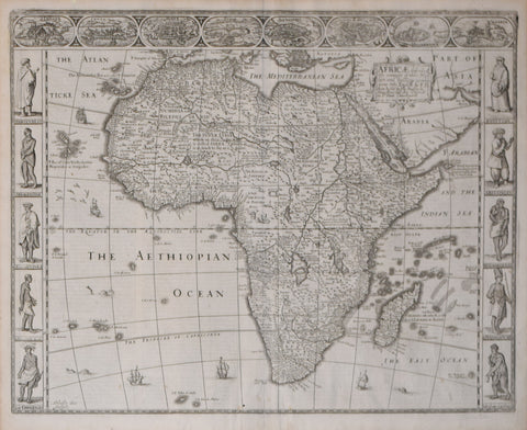
John Speed (English, 1552-1629), Africae, described, the Manners of their Habits and Buildings…