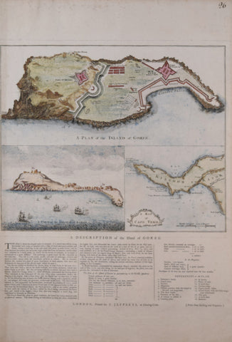
Thomas Jefferys (British, 1719-1771), A Plan of the Island of Goree, A View of the Island of Goree, A Map of Cape Verde
Thomas Jefferys (British, 1719-1771)
A Plan of the Island of Goree, A View of the Island of Goree, A Map of Cape Verde
Published, T. Jefferys, London, ca. 1759
Copper-plate engraving with letter press and later hand-coloring
Paper size 21 ¾ x 15 ¾”
Image with text 15 ¾ x 14 ⅞
We Also Recommend

