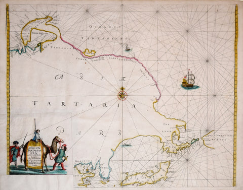
John Seller (English, 1603-1697), A Chart of the Tartarian Sea from Novazemla to Iapan
John Seller (English, 1603-1697)
A Chart of the Tartarian Sea from Novazemla to Iapan (Korea, Japan, China, Arctic Ocean, and the Bering Sea)
from Atlas Maritimus
Published: London, 1675, by John Darby (d. 1704)
Engraving with hand coloring
Plate mark: 16 3/4 x 20 3/4"
Sheet size: 17 1/2 x 22"
We Also Recommend


