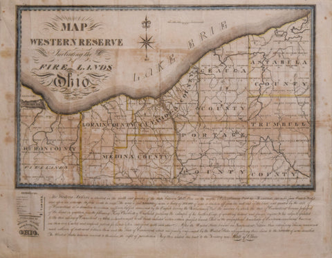
William Sumner/Allen Taylor, Map of the Western Reserve Including the Fire Lands in Ohio
William Sumner/Allen Taylor
Map of the Western Reserve Including the Fire Lands in Ohio
Published: William Sumner, Nelson, Ohio 1826
Engraving with original outline coloring.
Third state of Sumner's rare map of the Western Reserve, including the Fire Lands.
The map illustrates courthouses, meeting houses, cottages, mills, lighthouses, villages, county lines, roads and townships.
Paper size: 17 1/2" x 22 1/2"
Framed size: 28 x 32 5/8"
We Also Recommend


