London Magazine, A Map of the Harbour of Louisburg and parts adjacent
London Magazine, The Isles of Montreal as they have been Surveyd by French Engineers
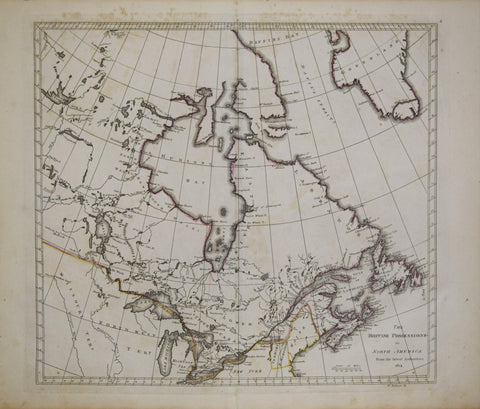
Mathew Carey (1760-1839), The British Possessions in North America from the latest Authorities 1814
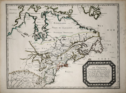
Nicolas Sanson (1600-1667), Le Canada ou Nouvelle France
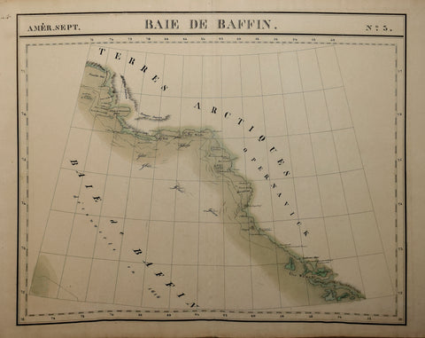
Philippe Vandermaelen (1795- 1869)) Baie de Baffin, No. 3
Philippe Vandermaelen (1795- 1869)) Grand Banc de Terre -Neuve, No. 45 [Canada]
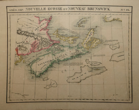
Philippe Vandermaelen (1795- 1869)) Nouvelle Ecosse et Nouveau Brunswick No. 44
Philippe Vandermaelen (1795- 1869)) Partie de la Nouvelle , No. 33
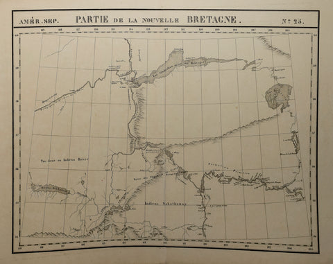
Philippe Vandermaelen (1795- 1869)) Partie de la Nouvelle Bretagne , No. 25
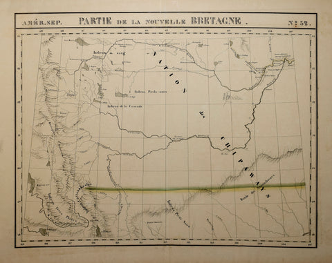
Philippe Vandermaelen (1795- 1869)) Partie de la Nouvelle Bretagne, No. 32
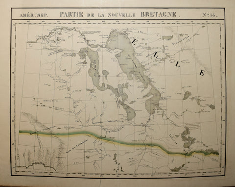
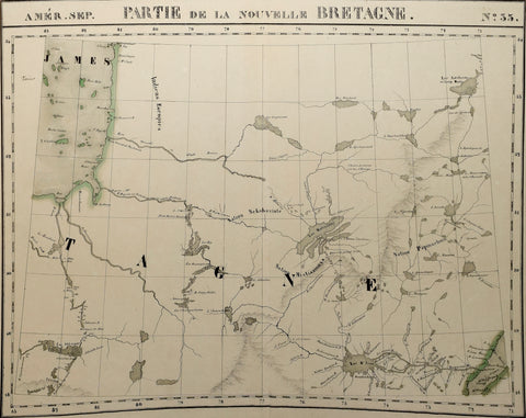
Philippe Vandermaelen (1795- 1869)) Partie de la Nouvelle Bretagne, No. 35
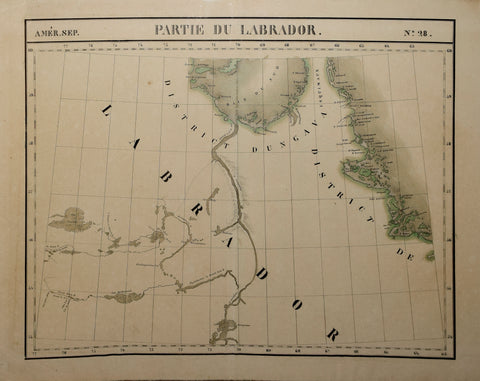
Philippe Vandermaelen (1795- 1869)) Partie du Labrador, No. 28
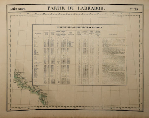
Philippe Vandermaelen (1795- 1869)) Partie du Labrador, No. 29
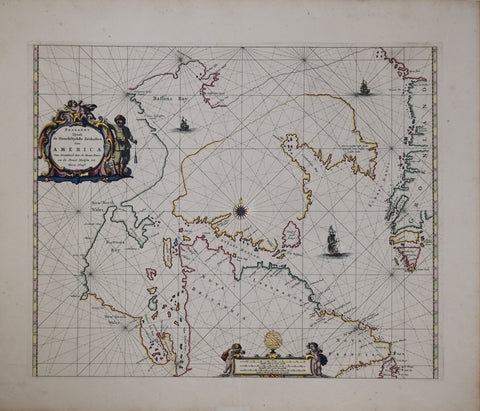
Pieter Goos (Dutch, ca. 1616-1675), Paskaert zynde de noordelijeskte Zeekusten van America...
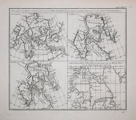
Robert de Vaugondy (1688-1766) and Denis Diderot (1713-1784), Carte qui représente les différentes connoissance...s
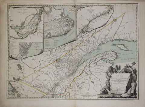
Robert Sayer & John Bennett, A New Map of the Province of Quebec
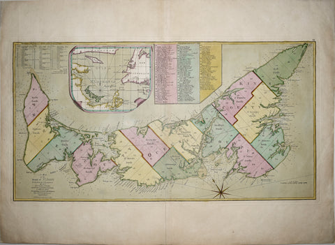
Samuel Holland/Thomas Jefferys, A Map of the Island of St. John In the Gulf of St. Laurence...
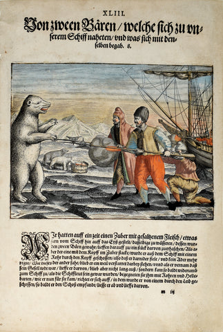
Theodor de Bry (1560-1623) and Johann Israel de Bry (1565-1609), Part III, Plate 43, Two Bears which Approached the Ship and what Happened to Them
Thomas Jeffereys (c. 1710-1771), An Exact Chart of the River St. Laurence..River to Quebec
Thomas Jefferys (1719-1771), A Plan of the City of Quebec, the Capital of Canada
![Philippe Vandermaelen (1795- 1869)) Grand Banc de Terre -Neuve, No. 45 [Canada]](http://aradergalleries.com/cdn/shop/products/GrandBancDeTerre-Neuve-No45_large.jpg?v=1622148140)